
Nepal's Deluge: Did NISAR Satellite Sleep Through the Storm?
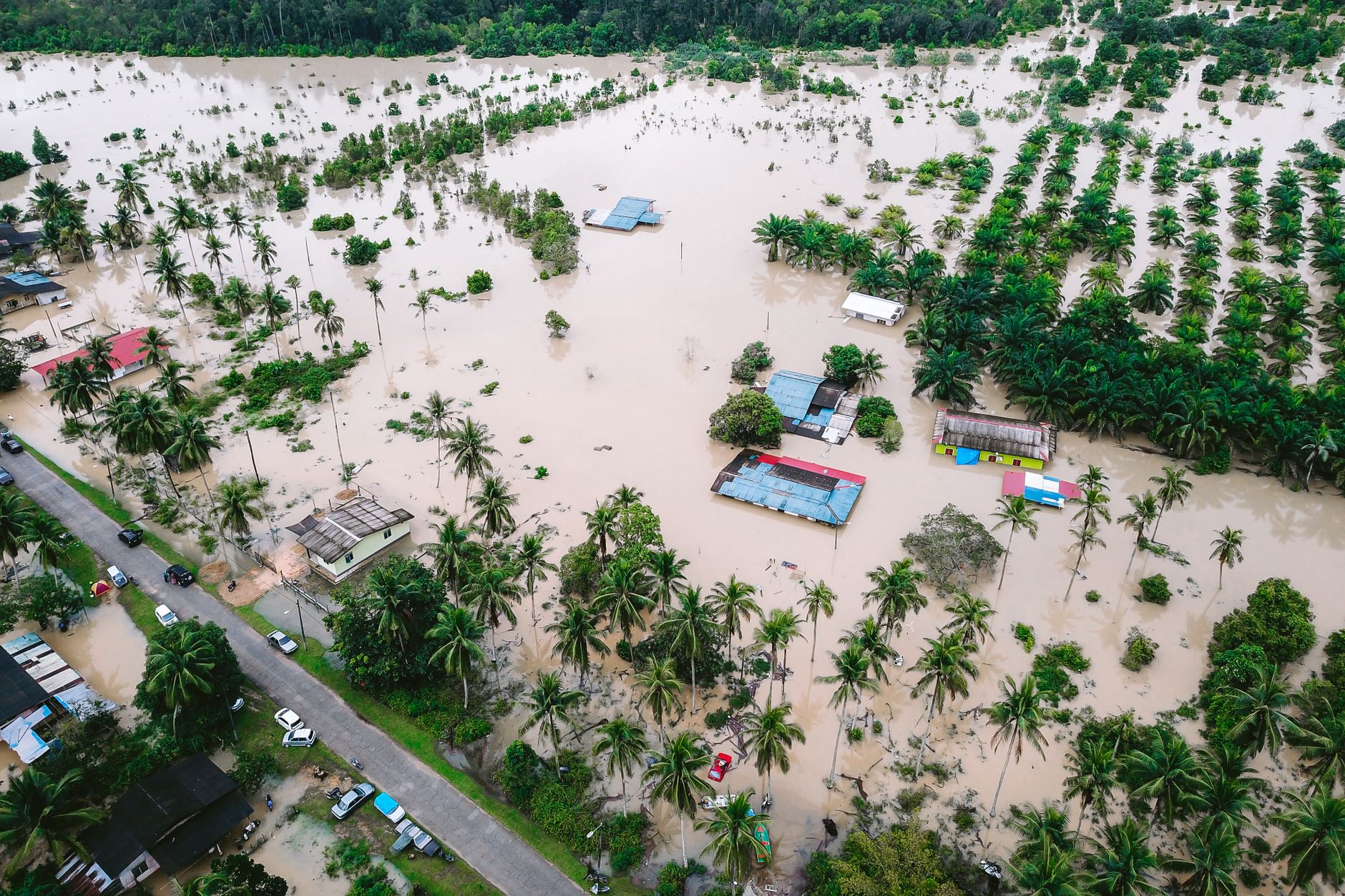
In the midst of Nepal's recent catastrophic floods, a glaring question has emerged: where was NISAR, the world's most expensive civilian earth imaging satellite, when it was needed the most? As torrents of water surged through the Nepal-Tibet border, the satellite, expected to be a beacon of hope and clarity, was noticeably silent.
The floods, described by explorer Pat Falvey as 'apocalyptic', have left a trail of destruction and despair. With over 275 Indians reported missing and countless others affected, the absence of timely satellite data has been keenly felt. NISAR, a joint NASA-ISRO mission, was designed to monitor intricate earth movements and provide precise data during such natural calamities.
Promises and Perplexities
The NISAR satellite, hailed for its advanced technology, promised to revolutionise how we understand environmental changes. However, as the waters rose and communication lines faltered, its silence became deafening. Was it a technical glitch, or simply a case of misplaced expectations?
Experts argue that while satellites like NISAR are marvels of modern science, they are not infallible. Ground realities often outpace technological advancements, especially in unpredictable terrains like those in Nepal. Yet, the disappointment lingers, as the satellite's potential remains untapped in this crisis.
A Call for Accountability
The situation has sparked a debate over the accountability of such high-stake technological ventures. With billions invested, the public deserves transparency regarding the satellite's operational capabilities and limitations. As rescue and relief operations continue, the need for reliable satellite data becomes ever more critical.
In the aftermath of the floods, the focus must shift to ensuring that NISAR and similar technologies fulfil their promise. The stakes are high, and the world watches with bated breath, hoping that the lessons learned will lead to more robust systems in the future.