Africa's Size Redrawn: New Map Sparks Debate
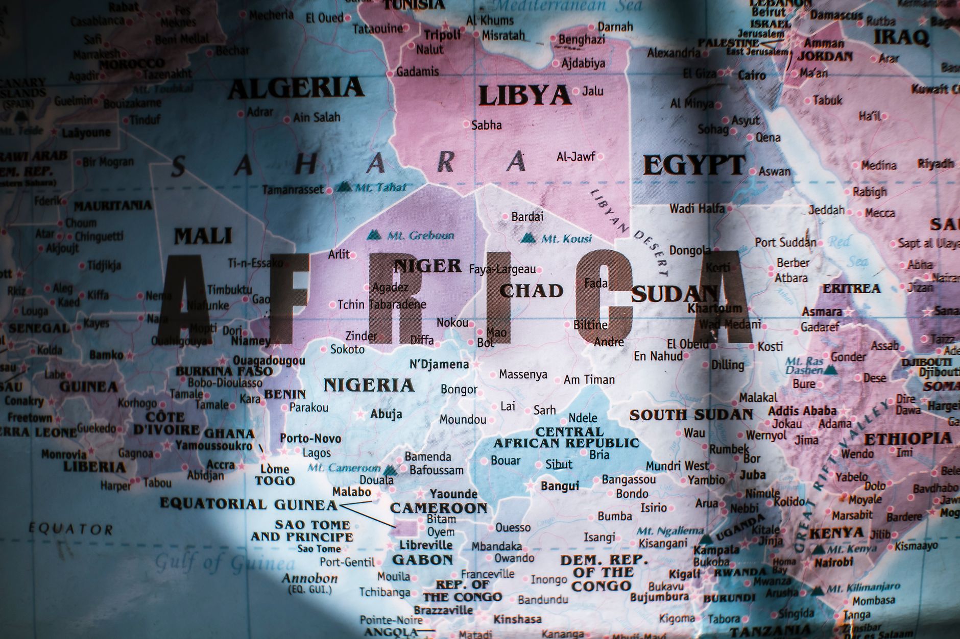
In a bold move that challenges centuries-old cartographic traditions, the United Nations has adopted a new world map that finally gives Africa its due prominence. This revised map projection increases the size of Africa and Australia, while proportionally reducing North America and Europe, sparking discussions on representation and historical accuracy.
For years, the Mercator projection has been the mainstay of world maps, despite its well-known distortions. It is a projection that maintains straight lines for easy navigation, but at the cost of skewing the size of land masses. As a result, Greenland and Africa appeared to be roughly the same size, even though Africa is, in reality, fourteen times larger.
The decision to adopt the new map aligns with the African Union's 'Correct the Map' campaign, which aims to rectify these historical inaccuracies. The campaign's leader, Haddadi, has highlighted this initiative as a crucial step in 'reclaiming Africa's rightful place on the global stage'.
Critics argue that altering map projections is a superficial solution to deeper issues of global inequality. However, supporters contend that this symbolic change is necessary for addressing the Western-centric view that has often dominated global perceptions.
The Politics of Cartography
Maps have always been political tools, shaping perceptions of geography and power. By changing the map, the UN has acknowledged the role of cartography in perpetuating imbalances. This shift is not merely about size, but about correcting a narrative that has long minimised Africa's significance.
As countries and organisations around the world adopt this new map, the hope is that it will foster a greater understanding of global geography that is fairer and more accurate. This move may also encourage educational systems to reconsider how geography is taught, with an emphasis on presenting a more balanced view of the world.
Whether this change will impact geopolitical dynamics remains uncertain. However, it is undeniably a step towards acknowledging and addressing historical biases, an effort to reshape not just maps, but mindsets.