India Stands Firm on Map Depiction at UN: A Territorial Assertion
India's firm stance on the depiction of its territorial boundaries in the United Nations' proposed world map has once again highlighted the complexities of cartographic representation in international diplomacy. This comes after New Delhi offered its support for a UN resolution championing equal-area map projections, a move largely driven by African nations seeking fairer representation on the world stage.
The Ministry of External Affairs (MEA) in India issued a categorical statement underscoring that any world map endorsed by the UN must reflect Jammu, Kashmir, and Ladakh as integral parts of India. The MEA's declaration was unambiguous: any inaccurate or misleading depiction would be deemed unacceptable.
Such a demand is not merely a cartographic concern but a reiteration of India's longstanding territorial claims, particularly in the context of its delicate relationship with neighbouring Pakistan and China. The region of Jammu and Kashmir has been a flashpoint between India and Pakistan since the partition, while Ladakh's strategic importance has grown amid recent tensions with China.
Global Implications
The call for equal-area projections stems from a desire to rectify perceived biases in traditional map-making, where regions near the poles appear disproportionately larger. African countries, in particular, have voiced concerns that conventional maps diminish their true size and, by extension, their geopolitical significance.
India's support for this resolution aligns with its broader diplomatic efforts to foster closer ties with African nations. However, the insistence on accurate territorial boundaries underscores the complexities involved in achieving a balance between global cooperation and national interests.
Regional Tensions
Jammu and Kashmir, a region marked by its picturesque landscapes, has long been a point of contention between India and Pakistan, both of which claim the region in full but control only parts of it. The abrogation of Article 370 by India in 2019, which revoked the region's special status, has further complicated matters, drawing international attention and criticism.
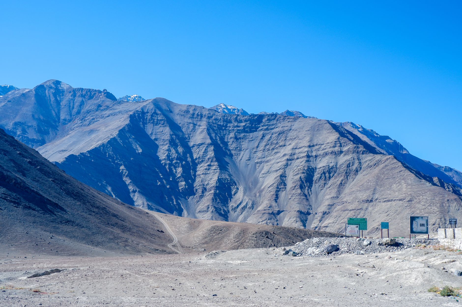
Meanwhile, Ladakh, renowned for its stunning mountainous terrain, has become a focal point in India's border disputes with China. The recent skirmishes in the Galwan Valley have added to the urgency with which India approaches its territorial assertions.
In these geopolitically sensitive times, the depiction of a map is far more than a mere geographical outline; it is a statement of sovereignty and an assertion of national identity. India's message to the UN is clear: maps must reflect the realities as seen from New Delhi's standpoint.