Mapping the World: Truths and Distortions on Our Global Canvas
In the world of cartography, the map is not just a tool for navigation but a reflection of how we perceive the planet. The Peters projection, for instance, has sparked debates since its introduction by Arno Peters in the 1970s. By offering a view that accurately represents land masses in proportion to their actual sizes, it challenges the Eurocentric bias of the more familiar Mercator projection.
For centuries, the Mercator map, created in 1569 by Gerardus Mercator, has been the standard. Its ability to preserve angles makes it invaluable for navigation, yet it grossly enlarges regions like Europe and North America while diminishing Africa and South America. Peters’ alternative was thus a revelation, reshuffling the global hierarchy by displaying continents in their true dimensions.
Modern Maps and Their Limitations
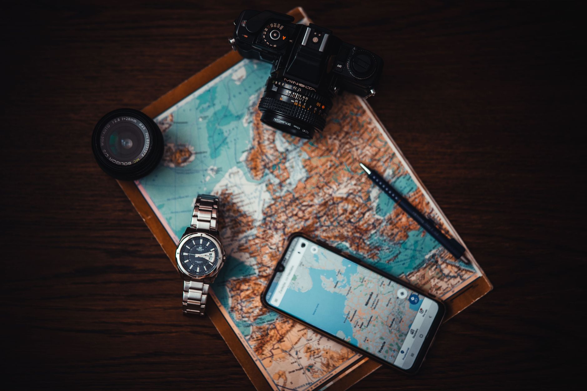
Today, technology giants like Google have revolutionised how we interact with maps. Google Maps, a staple in our digital lives, prioritises functionality over form. It excels in providing real-time traffic updates, street views, and precise navigation. However, in its quest for utility, it often glosses over the cultural and political nuances that traditional maps attempt to capture.
These digital maps are not without their biases. Algorithms decide which routes to highlight and which locations to prioritise, subtly shaping our perceptions. As users, we may find our worldviews narrowing, led by the convenience of technology.
The Importance of Cartographic Literacy
Understanding the strengths and weaknesses of different maps is crucial. Maps are not mere representations; they are narratives of power and perspective. Being aware of their limitations helps us question the information presented and promotes a more nuanced view of global geography.
As we continue to rely on maps for everything from daily commutes to geopolitical analysis, appreciating their complexities becomes ever more important. In a world where borders are both physical and digital, our maps must evolve to reflect the diverse realities they portray.