New Map Projection Sparks Debate: Africa's True Size Revealed
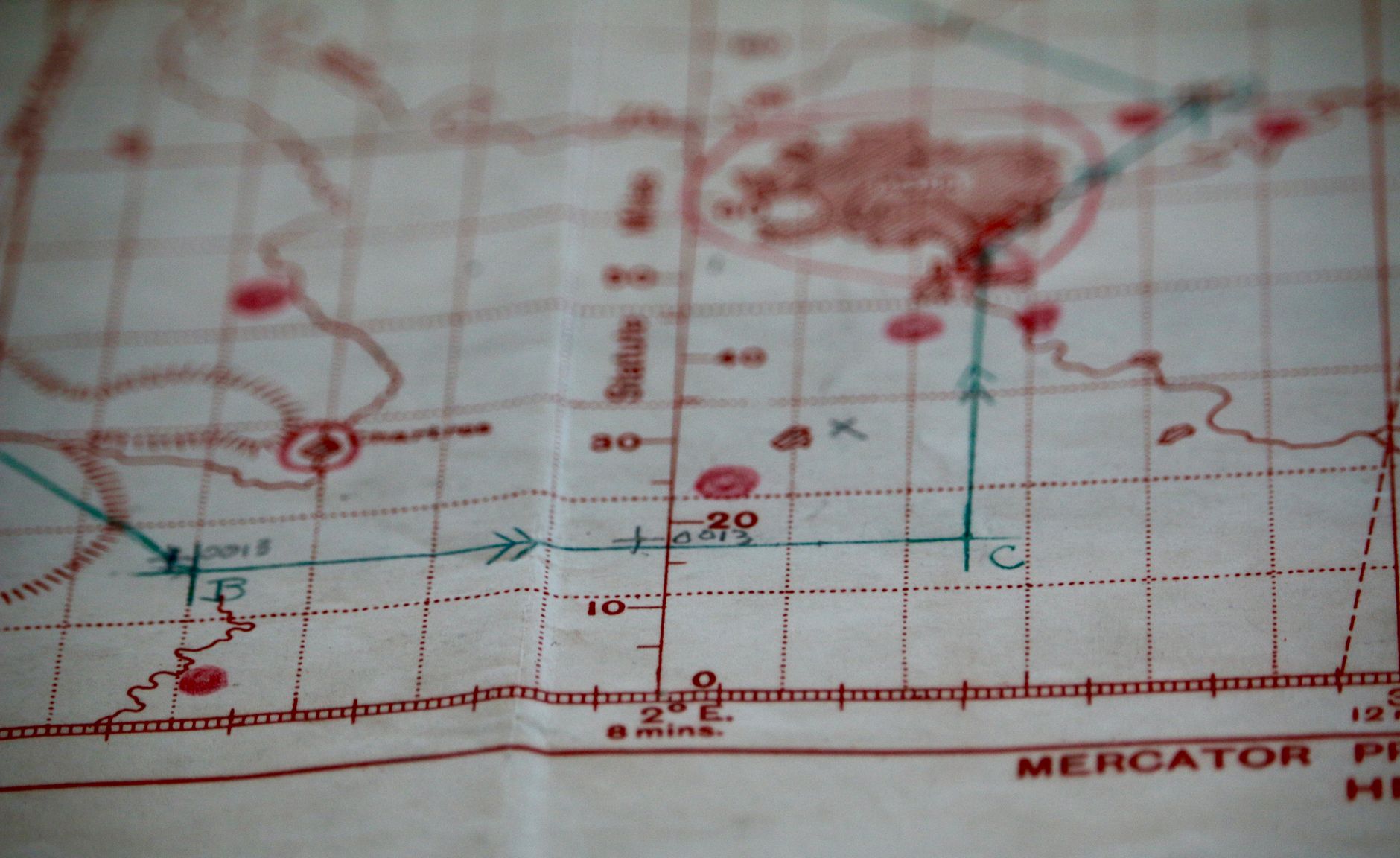
For centuries, the world has been viewed through the lens of the Mercator projection, a map that stretches the imagination and the continents. Yet, a new cartographic rendition has sparked a reevaluation of Africa's geographical stature, portraying the continent with a prominence that many argue is long overdue.
The traditional Mercator map, developed in 1569 by Flemish geographer Gerardus Mercator, was designed for navigation. It prioritised straight lines and angles over accurate landmass representation, leading to a significant distortion particularly evident in the size of countries near the poles. As a result, Africa, despite being the second largest continent, has often appeared surprisingly understated.
Cartographers have long acknowledged these disparities. However, it is the recent unveiling of maps using alternative projections, such as the Gall-Peters or the Equal Earth, that have reignited public interest and debate. These maps strive for a more faithful representation of land area, ensuring Africa stands in its true grandeur.
A Matter of Perspective
Maps are not merely tools of navigation; they are reflections of perspective and power. The way a region is depicted can influence our understanding of its significance and its relationship to the rest of the world. In this context, the traditional underrepresentation of Africa has been criticised for perpetuating stereotypes and underestimating the continent's importance.
Dr. Rachel Smith, a cartographic historian, explains, "Maps have always been about more than geography; they are about geopolitics. The Mercator projection served colonial interests by exaggerating the size of European powers. New maps challenge those old narratives."
The Broader Implications
While a map's projection might seem a mere technicality, its implications are profound. Educators and policymakers who adopt these new maps may find themselves at the forefront of a broader movement to reassess historical biases and foster a more balanced global perspective.
As discussions around these new maps continue, they offer a timely reminder of the power of perspective. In a world increasingly aware of its interconnectedness, how we view each other on the map may shape how we interact with each other in reality.
Ultimately, the debate around Africa's map representation is not just about cartography. It's about recognising and rectifying historical imbalances, ensuring that all continents are placed on an equal footing in both geography and perception.