The Map Debate: Unpacking Global Cartographic Perspectives
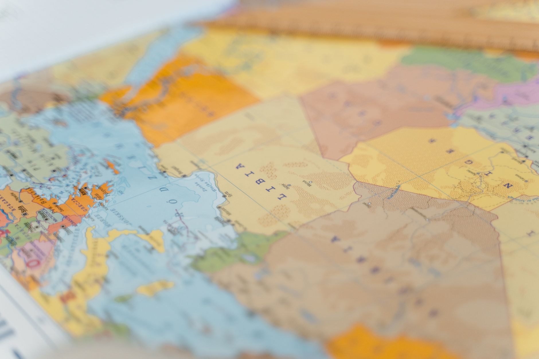
For centuries, maps have guided explorers, informed nations, and, perhaps most importantly, shaped our understanding of the world. Yet, as any seasoned cartographer will tell you, no map is without its distortions. The recent decision by the United Nations to adopt a map that more accurately reflects Africa's true size has reignited discussions on the reliability and biases inherent in cartographic depictions.
The Peters Projection, introduced in the 1970s, sought to rectify the skewed perceptions inherent in the traditional Mercator map, which exaggerates the size of regions far from the equator. Its rectangular design, while controversial, highlights the size of equatorial countries more accurately, prompting a reevaluation of how we perceive global power dynamics.
But it's not just traditional maps that are under scrutiny. In the digital age, platforms like Google Maps influence our navigation and perception of distance. These tools, while incredibly helpful, often prioritise functionality over geographical accuracy. Their algorithms can lead to unexpected distortions, particularly when calculating distances across vast areas.
Reassessing Perceptions
At the heart of the debate is a fundamental question: what is the purpose of a map? Historically, maps have been tools of power, used to claim territories and assert dominance. Today, they serve a multitude of purposes, from guiding our daily commutes to educating future generations.
The UN's decision is a reminder that the way we depict the world matters. Maps not only inform but also influence our worldview. The choice of projection can affect our perception of continents and countries, potentially fostering biases that have long-lasting impacts.
The Future of Cartography
As technology advances, the potential for creating more accurate and inclusive maps grows. Innovations in satellite imagery and digital mapping offer opportunities to portray the world in ways that were previously unimaginable. Yet, with these advancements comes the responsibility to ensure that maps are used ethically, reflecting the world as it is, not as we wish it to be.
The map debate continues, serving as a reminder of the power of perspective. As we look at the world through different lenses, we must remain vigilant in questioning what we see and why we see it that way.