The Map Illusion: Why India Appears Smaller Than It Is
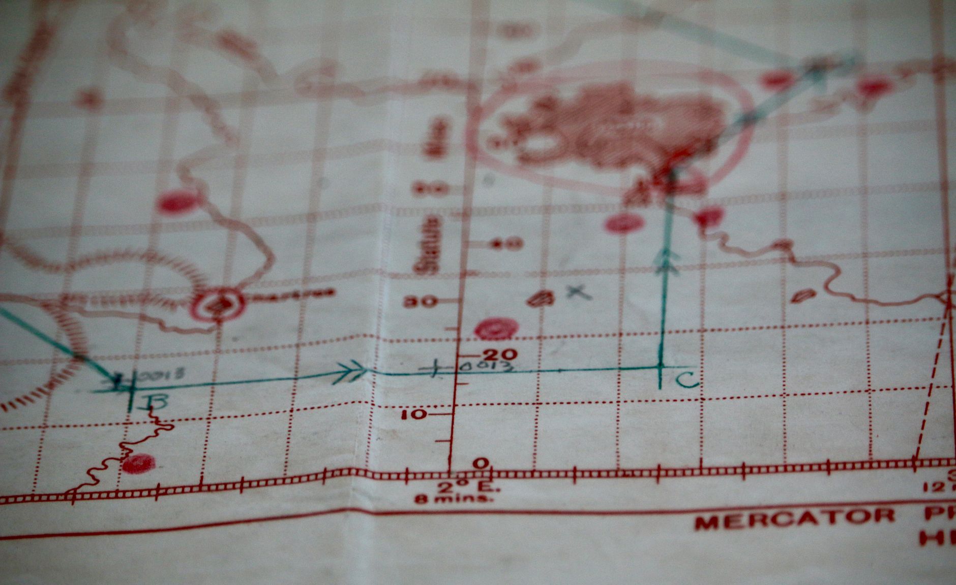
Maps are more than just a tool for navigation; they shape our understanding of the world. Yet, many of us might not realise that our world maps are lying to us. The Mercator projection, a staple in classrooms and boardrooms alike, grossly distorts the size of countries.
India, a vast nation with a landmass of over 1.2 million square miles, often appears deceptively small on these maps. The Mercator projection stretches areas closer to the poles while compressing those near the equator. This is why Greenland, which is actually 14 times smaller than Africa, appears comparable in size to the entire continent, including India.
The origin of this skewed portrayal dates back to the 16th century, when Flemish cartographer Gerardus Mercator developed this projection to aid sailors. His method preserved angles, which proved invaluable for navigation, but at a significant cost to area accuracy.
The persistence of the Mercator map raises questions about our geographical perceptions. Many experts argue for a shift towards projections that more accurately represent the size of countries. The Gall-Peters projection and others like it offer a truer picture, showing India and other equatorial countries in their proper proportions.
Why It Matters
Understanding the true size of nations is more than an academic exercise. It influences geopolitical perceptions and can impact international relations. The distortion of the Mercator map has led to a Eurocentric worldview, where Western nations appear larger and more dominant.
Efforts to rectify this are gaining momentum. Some educational and governmental organisations advocate for adopting alternative map projections that present a more balanced view of the world. Such changes may not happen overnight, but they signify a step towards a more accurate global understanding.