The Reality Behind Country Sizes on the New World Map
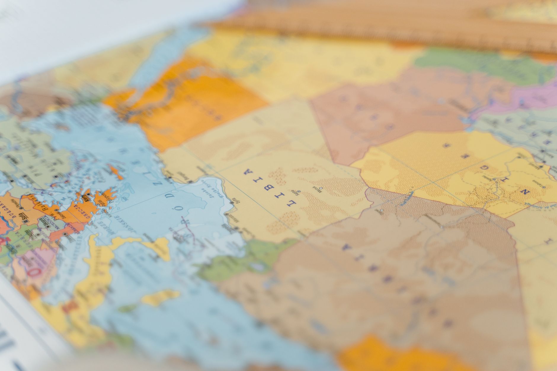
For generations, the Mercator projection has been the go-to method for depicting our globe on flat paper. Yet, this map — ubiquitous in classrooms and offices alike — conceals a rather inconvenient truth: it distorts the size of countries substantially. The vastness of Africa, for instance, is shrunken to a misleadingly modest proportion, while Greenland appears as though it could rival the continent in size.
Now, a revolutionary interactive map aims to correct these misconceptions. Users can drag, drop, and rotate countries, allowing them to compare their real sizes against one another. Such a feature not only educates but also surprises, revealing that Australia, often dwarfed by the massive representation of Russia, holds its own in sheer landmass.
This cartographic revelation is more than just a novelty. It serves as a poignant reminder of the biases inherent in our understanding of the world, shaped by centuries of Eurocentric mapping. Educational institutions are taking note, incorporating these tools into curriculums to foster a more accurate understanding of geography.
The Implications of Map Distortion
Why does it matter, some may ask? Beyond mere academic curiosity, the way we perceive country sizes can affect geopolitics, economic perceptions, and even national pride. A larger-than-life Europe and North America, courtesy of the Mercator projection, could unconsciously inform our assumptions about power and influence.
In a world increasingly aware of global inequalities, this interactive map is a step towards equality in representation. It asks us to reconsider what we know and to view the world through a lens that more accurately reflects reality. For geography enthusiasts, students, and educators alike, this tool is not just educational — it's transformative.