UN Endorses New Map, Corrects Africa's Size
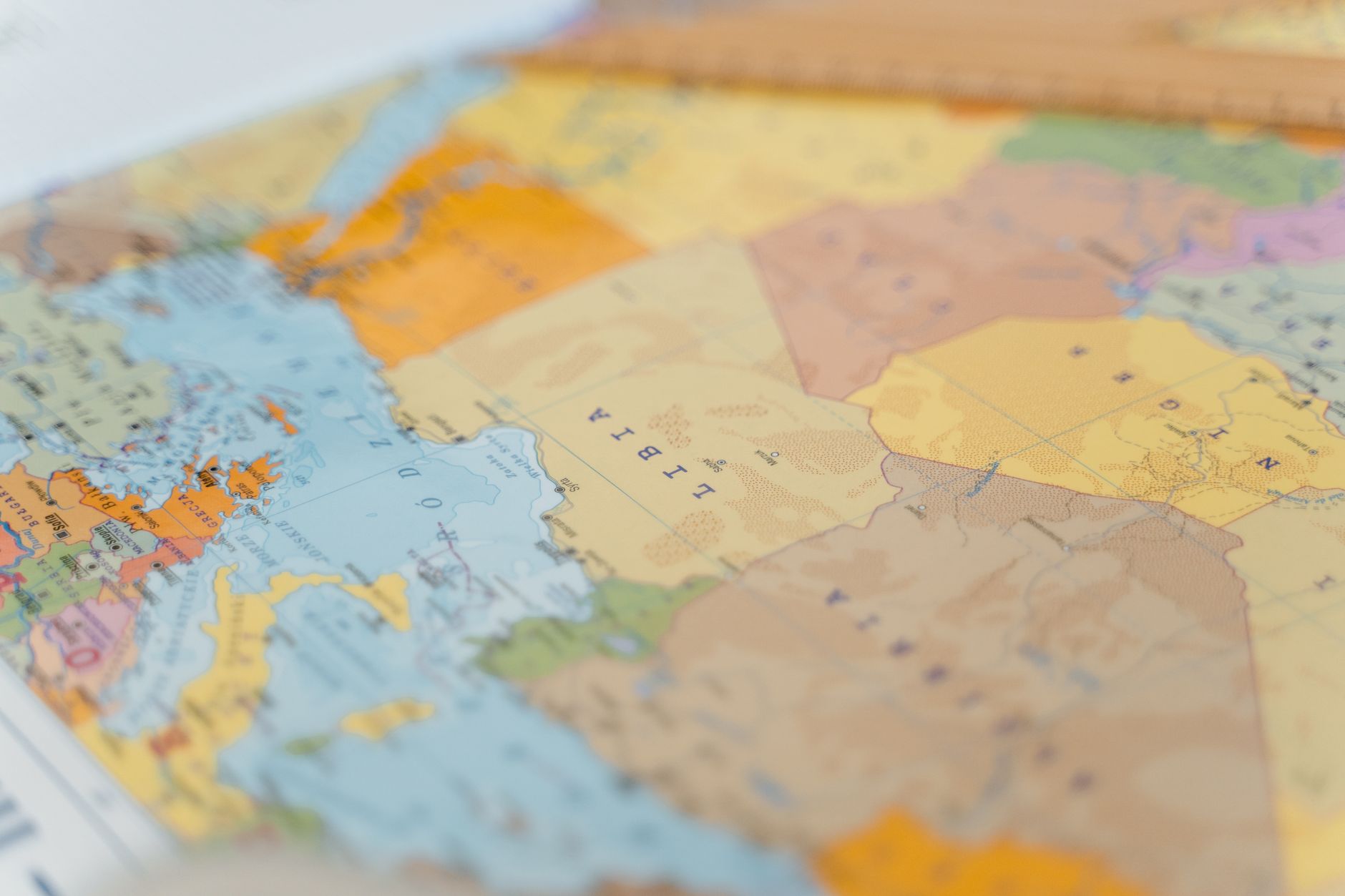
The United Nations has taken a decisive step in reshaping how the world views Africa, quite literally. In an overwhelming vote, the General Assembly endorsed a new world map that for the first time accurately depicts the continent's true size, a move that has been hailed as a correction of a centuries-old oversight.
The map, which utilises the Equal Earth projection, offers a stark contrast to the traditional Mercator projection. The latter, long a staple in classrooms and boardrooms alike, has been criticised for skewing the relative sizes of countries, making regions like Africa appear disproportionately smaller than they are.
The African Union, alongside other global south nations, spearheaded the campaign for this change. Known as the 'Correct the Map' initiative, it has sought to address the geopolitical implications of cartographic misrepresentations that have influenced perceptions and, some argue, policy.
A Unanimous Call for Change
The resolution passed with resounding support, save for a solitary nay from the United States. The American delegation's reluctance stems from concerns over the geopolitical implications of altering widely accepted cartographic norms. However, proponents argue that an accurate map is a step towards a more equitable global understanding.
Explaining their stance, the US delegation stated, "Resolutions like this, and the ideological agenda they promote, are barnacles on our work here, and the reason this institution is losing its credibility." Despite this dissent, the map change has been broadly welcomed, particularly by those who view it as an opportunity to rectify historical biases.
The Significance of Accurate Representation
Why does this matter? Maps are more than just navigational tools; they shape our worldview. The Mercator projection, developed in 1569, was originally intended for maritime navigation. However, its widespread use in educational and political contexts has led to distorted perceptions of global geography.
For Africa, a continent often relegated to the periphery of global discourse, being accurately represented is a matter of pride and political equity. The new map highlights Africa's vastness, emphasising its importance in global affairs and resource distribution.
The adoption of the Equal Earth map is seen as a step towards addressing these imbalances, fostering a more informed and equitable global perspective. As the world increasingly grapples with issues that transcend borders, from climate change to economic inequalities, having an accurate representation of all regions becomes ever more critical.