UN Map Sparks Diplomatic Tensions Over Arunachal, Aksai Chin
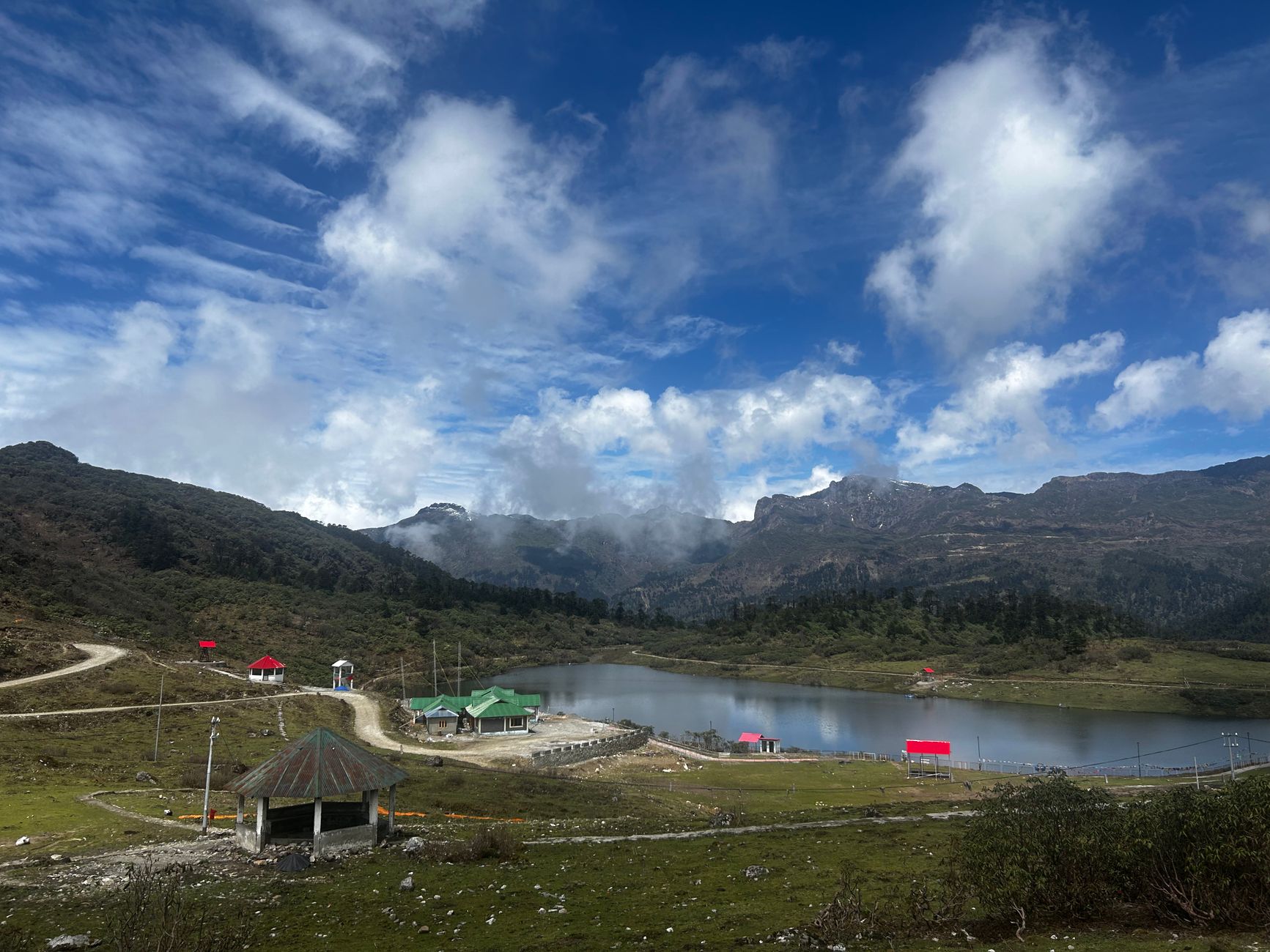
The latest cartographic offering from the United Nations has stirred the pot of international diplomacy, with its depiction of Arunachal Pradesh and Aksai Chin as territories seemingly floating between India and China. This contentious representation, unveiled in a new world map, has prompted a chorus of diplomatic murmurs, with India leading the charge in protest.
Arunachal Pradesh and Aksai Chin, both regions integral to India's territorial claims, appear on the map as distinct entities, delineated by what has been termed an 'Indian line' and a 'Chinese line'. These lines serve as a visual testament to the longstanding border disputes between the two Asian giants, disputes that have seen their fair share of both diplomatic and military posturing over the years.
India's Firm Stance
The Indian government, while supportive of the UN's broader cartographic endeavours, has expressed its unequivocal displeasure at the portrayal of these regions. A senior official from the Ministry of External Affairs remarked, "India's position on Arunachal Pradesh and Aksai Chin is well-known and consistent. We have conveyed our concerns regarding the depiction of these regions."
Regional Reactions
While India has been vocal, the reactions have not been confined to New Delhi alone. Pakistan and China, both stakeholders in the regional geopolitics, have also weighed in, each interpreting the map through their geopolitical lenses. This comes at a time when the region's stability is under scrutiny, and any shift in perception or policy could have far-reaching implications.
China, which lays claim to Aksai Chin, has yet to issue a formal statement, though observers note that the map aligns with Beijing's long-standing territorial assertions. Pakistan, often an interested party in matters concerning India's borders, has responded sharply, echoing its usual rhetoric on the matter.
The Bigger Picture
This map is not merely a cartographic exercise but a reflection of the intricate and often fraught geopolitics of the region. With both India and China being regional powerhouses, their border disputes are not just bilateral issues but have wider implications for regional security and international diplomacy.
As the dust settles, the world watches closely, aware that in this part of the world, lines on a map can sometimes lead to more than just diplomatic exchanges. They remind us that geography and politics are inseparably intertwined, and that each stroke on a map carries the weight of history, sovereignty, and national pride.