UN Recasts World Map to Highlight Africa's True Size
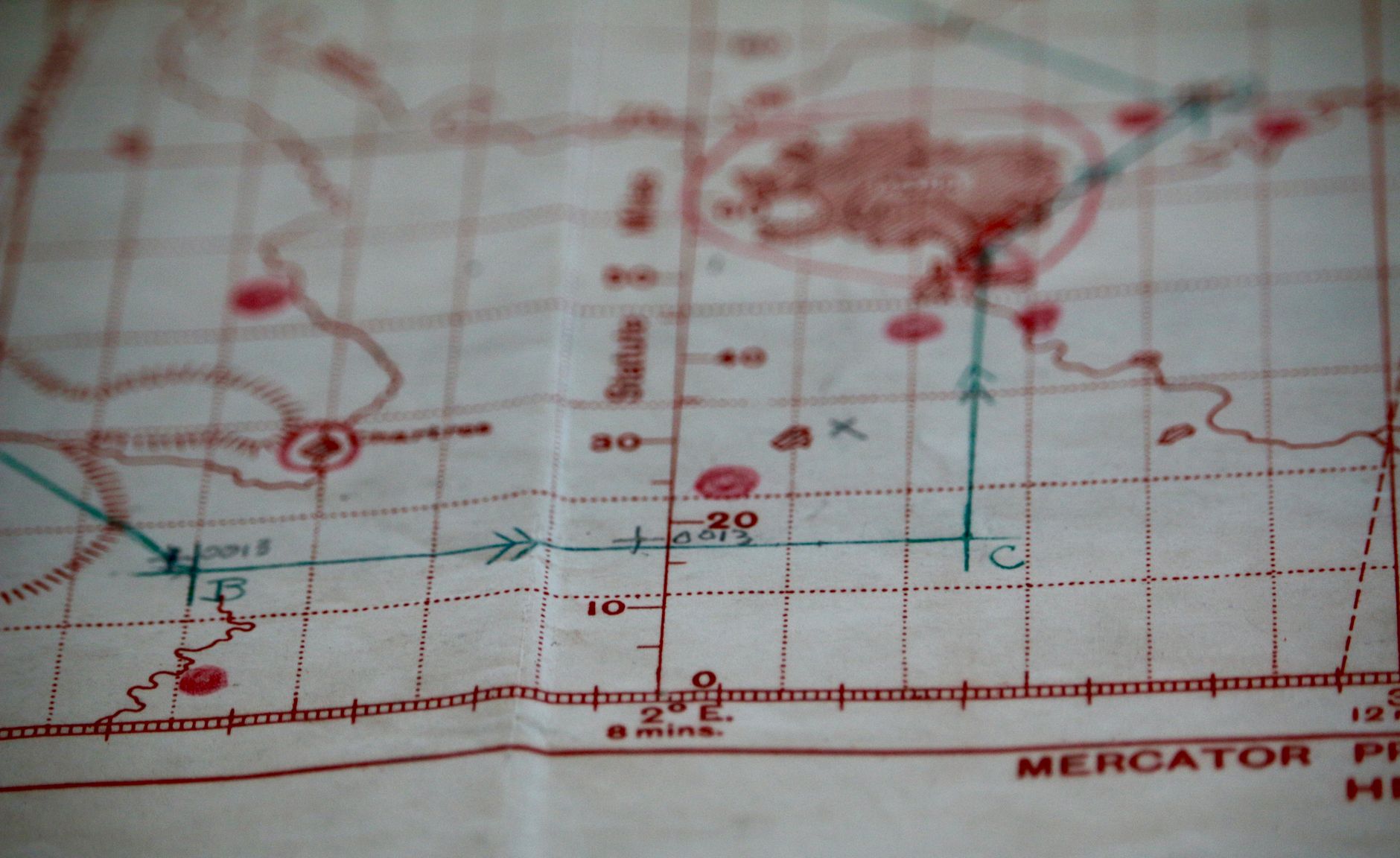
In an unprecedented move, the United Nations General Assembly has voted to adopt a world map that aims to set the record straight about the true size of the continents. This decision, championed by African nations, seeks to replace the long-standing Mercator projection, a 16th-century relic known for distorting the size of land masses.
For centuries, Africa has been relegated to a diminutive representation on world maps, a legacy of colonial cartography that has perpetuated misconceptions about the continent's scale and importance. The new map attempts to correct this oversight, presenting Africa in its rightful proportions and challenging the Eurocentric bias inherent in traditional mapping techniques.
The Sole Dissenting Voice
The United States emerged as the lone dissenting voice in the vote, casting a shadow of political tension over what is, at its core, a cartographic correction. Six countries chose to abstain from voting, indicating a cautious approach to a seemingly innocuous resolution.
While the decision is non-binding, the implications of this vote reach beyond mere geography. Educational institutions and global organisations are now encouraged to adopt this more accurate representation, which could gradually reshape perceptions of Africa and its role in global affairs.
Historical Context and Future Implications
The Mercator projection has long been criticised for its Eurocentric worldview, a tool of maritime navigation that exaggerated the size of Europe and North America while shrinking Africa and South America. By adopting a more equitable projection, the UN acknowledges the influence of maps in shaping political and social narratives.
Accurate representation is not just a matter of cartographic precision but also cultural significance. For African states, this resolution is a powerful statement against historical marginalisation. It symbolises a step towards a more balanced understanding of global geography, one that recognises Africa's vast potential and diversity.
As educational institutions begin to update their maps, students across the world may soon learn geography with a fresh perspective. It remains to be seen how quickly these changes will be implemented, but the resolution marks a pivotal moment in the ongoing journey towards global equality.