UN Redraws the Map: A New Perspective on Global Geography
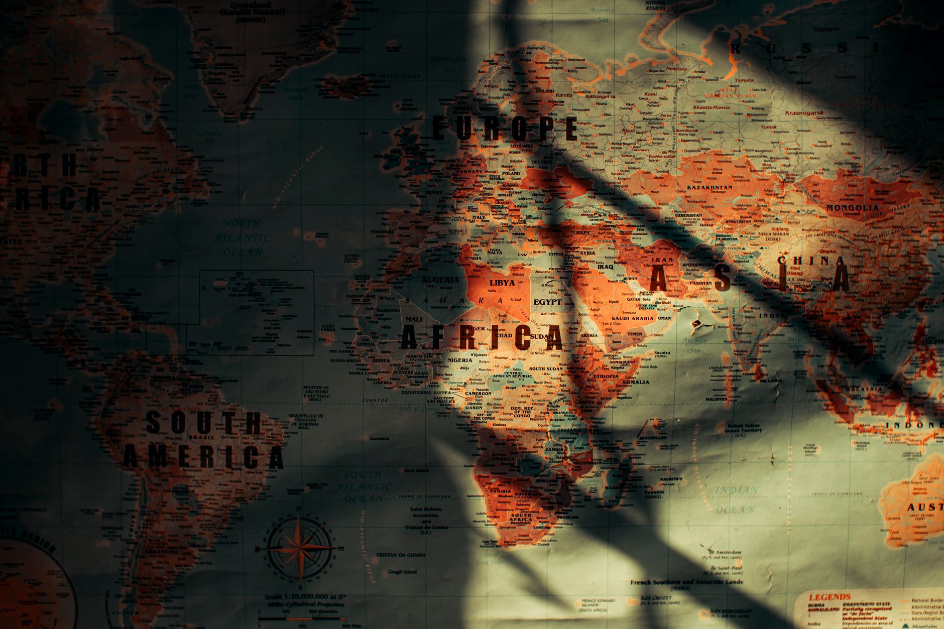
The United Nations General Assembly, in a move that signals a tectonic shift in cartographical representation, has voted to adopt a new world map. This decision aims to correct the distortions of the traditional Mercator projection, which has long been criticised for skewing the sizes of continents, particularly diminishing Africa while enlarging Europe and North America.
For years, African nations have been vocal about the inaccuracies perpetuated by the Mercator map. The traditional map, widely used in educational and professional settings, has been accused of reinforcing colonial-era prejudices by visually minimising the African continent and its significance. The new map seeks to provide a more equitable view, reflecting the true proportions of landmasses around the globe.
While the resolution saw overwhelming support from the international community, the United States stood alone in opposition. Critics suggest that the US's reluctance stems from the geopolitical implications of appearing smaller in relation to other continents, a shift that may affect perceptions of global influence.
Proponents of the new map argue that this change is not just about geography but also about acknowledging and correcting historical misrepresentations. It is a step towards a more accurate understanding of our world, one that respects the true diversity and size of its constituent lands.
This development is expected to have a wide-ranging impact, particularly in educational contexts, where a more accurate representation of the world can foster greater understanding and respect for different cultures and histories. As the world moves towards this new perspective, it remains to be seen how quickly the new map will replace the old in classrooms and boardrooms worldwide.