UN Redraws the World Map: Africa Takes Centre Stage
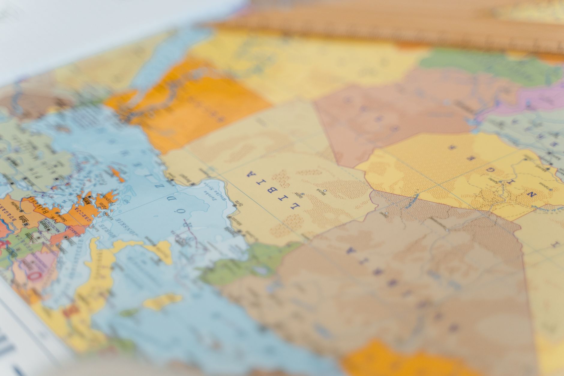
In a bold move that promises to reshape our geographical understanding, the United Nations has voted to adopt a new world map that more accurately reflects the size of Africa. The decision, hailed as a long-overdue correction, came after a resolution titled "Correct the Map" was brought forward by Togo and supported by the African Union. It received backing from 164 nations, signalling a strong consensus to address the historical inaccuracies perpetuated by the traditional Mercator projection.
The Mercator map, devised in the 16th century, has long been criticised for distorting the relative sizes of continents, particularly exaggerating the size of Europe and North America while shrinking Africa. This distortion has not only skewed perceptions but has also had socio-political implications, often placing Africa in a subordinate visual and psychological position on the global stage.
Africa's True Dimensions
The new map, which utilises an equal-area projection, presents Africa in its true grandeur. Covering approximately 30 million square kilometres, Africa is, in reality, larger than the combined land area of China, India, the United States, and most of Europe. By accurately displaying these dimensions, the UN aims to foster a more balanced global perspective.
Supporters of the resolution argue that this change will help rectify centuries of misrepresentation and encourage a more equitable understanding of global geography. "It's not just about cartography; it's about correcting a narrative," remarked a Togolese delegate during the debate.
Implications for Education and Policy
Beyond the symbolic significance, the adoption of this new map is expected to influence education and policy-making. Educational materials across the globe may soon reflect this accurate depiction, potentially altering how future generations perceive the world. Furthermore, a more accurate representation could impact international policy discussions, where geographical knowledge plays a pivotal role.
As this new map gradually finds its place in classrooms and boardrooms alike, it could very well signal the beginning of a new era of geographical awareness and international relations. The world may look different now, but it might just be a step towards seeing it more truthfully.