Unveiling the True Size of Nations: A Cartographic Revelation
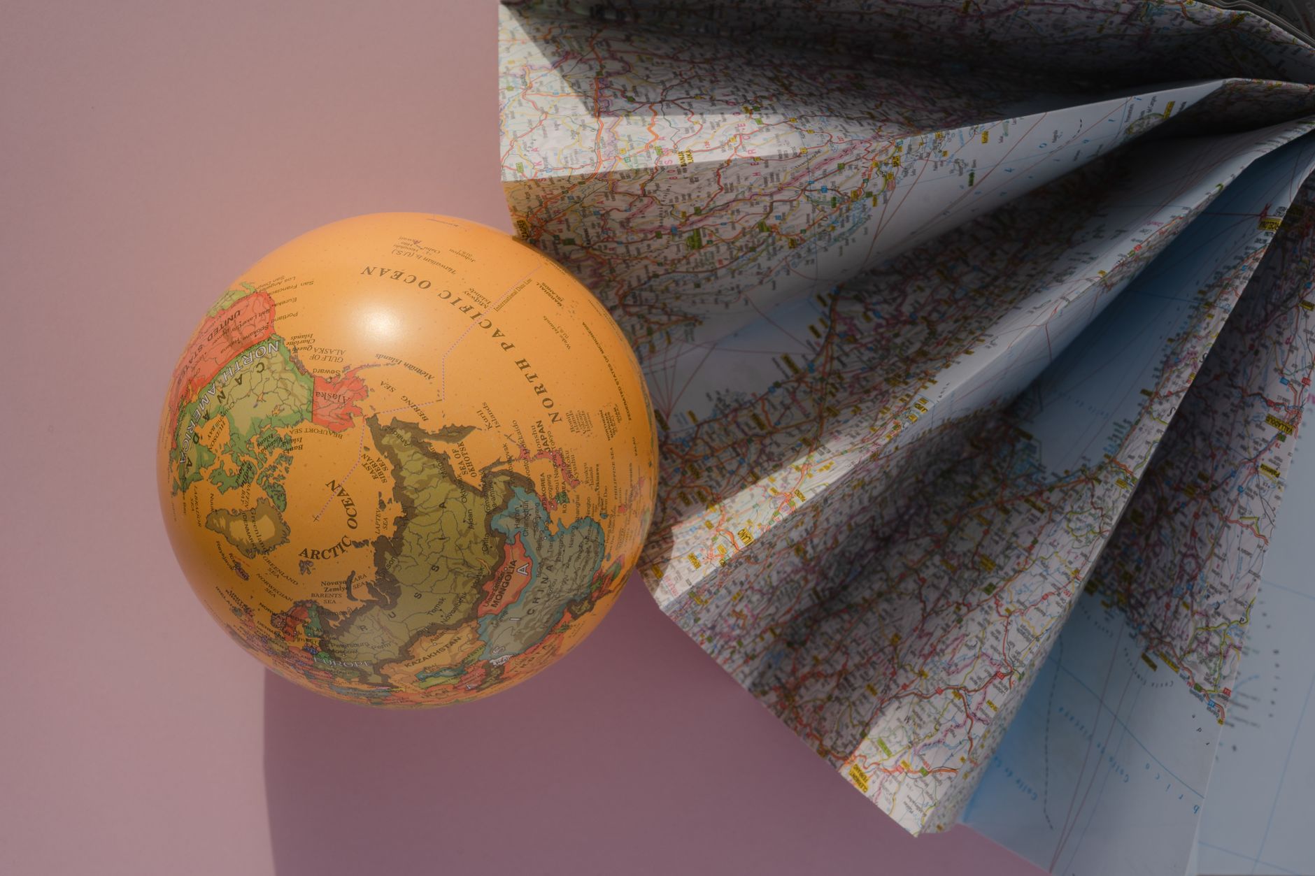
At first glance, a world map might seem like a straightforward depiction of our planet's geography. Yet, for centuries, the Mercator projection has played tricks on our minds, inflating the size of countries far from the equator while shrinking those closer to it. This age-old conundrum has recently been tackled by an innovative interactive map, which allows users to explore the true size of nations with just a click.
The new map enables users to switch between the conventional Mercator projection and the more geographically accurate Equal Earth projection. The results are often startling. For instance, Greenland, which looms large on a Mercator map, shrinks dramatically when viewed through the Equal Earth lens, while Africa, often understated, takes its rightful place as a colossal continent.
An Educational Tool
This tool is not merely an academic curiosity; it serves as a crucial educational resource. Geographical educators have long struggled to convey the true dimensions of the world, hamstrung by maps that distort reality. The interactive map provides a more authentic visual representation, allowing students and enthusiasts alike to grasp the planet's true proportions.
In doing so, it also challenges ingrained perceptions. Many users are surprised to see how countries like India, often perceived as smaller due to its elongated shape on traditional maps, actually dwarf much of Europe.
Implications for Global Perspective
The implications extend beyond education. By offering a more accurate depiction of the world, this tool invites us to reconsider geopolitical and cultural perceptions. Countries that appear larger on the map may be perceived as more influential, a notion that this new map seeks to rectify.
In an era where data and visualisation play pivotal roles in shaping public opinion, such cartographic tools are not just novelties; they are essential in fostering a more accurate understanding of our world. As users around the globe engage with this map, they are not only learning about geography but also questioning the narratives that have long been taken for granted.