Why Africa's True Size on Maps is Stirring Debate
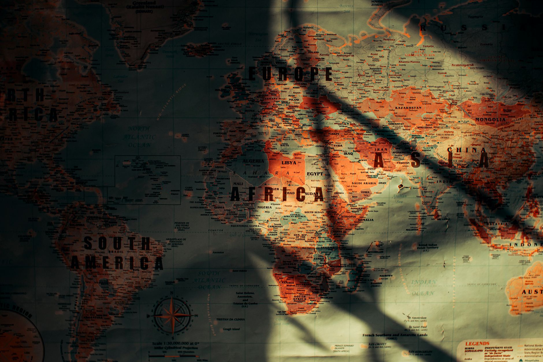
The world, as it appears on maps, is a curious illusion. For centuries, cartographers have wrestled with the impossible task of flattening a spherical Earth onto a two-dimensional page, inevitably distorting shapes and sizes. The latest development in this ongoing saga is a new world map that presents Africa in its true grandeur, sparking fresh debates about how we perceive our planet.
Historically, the Mercator projection has been the standard for world maps, primarily for its utility in navigation. However, it notoriously inflates the size of regions closer to the poles while diminishing the scale of equatorial lands. Africa, therefore, appears much smaller than its reality, a fact that has not gone unnoticed by critics of the projection.
More Than Just Geography
Enter the African Union’s 'Correct the Map' campaign, a political and educational endeavour that seeks to rectify these cartographic biases. By advocating for maps that accurately reflect Africa’s vastness, the campaign aligns with the AU’s broader mission of promoting Africa's rightful place in global discourse. As Haddadi, a proponent of the initiative, put it, this is about reclaiming dignity and correcting historical misrepresentations.
The implications of this are far-reaching. Maps are not just geographical tools; they are instruments of power that shape how we understand world dynamics. A map that diminishes a continent can subtly diminish its importance in the eyes of those who use it, reinforcing outdated stereotypes and power hierarchies.
Educational Reforms and Political Statements
This shift in cartographic representation is not just a matter of aesthetics. It carries profound educational significance. Schools teaching geography with maps that more accurately represent Africa’s scale are participating in a subtle yet powerful act of decolonisation. They are challenging long-held Western-centric views and encouraging a more balanced view of the world.
Yet, as with any change, there are detractors. Some argue that altering maps to reflect different perspectives can lead to confusion or disrupt established conventions. However, supporters of the campaign assert that these are minor inconveniences in the pursuit of truth and justice.
The debate surrounding map projections is unlikely to settle soon. As the world grapples with its colonial past and seeks to build a more equitable future, the humble map becomes a battleground of ideas, a canvas where geography and geopolitics intersect.